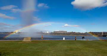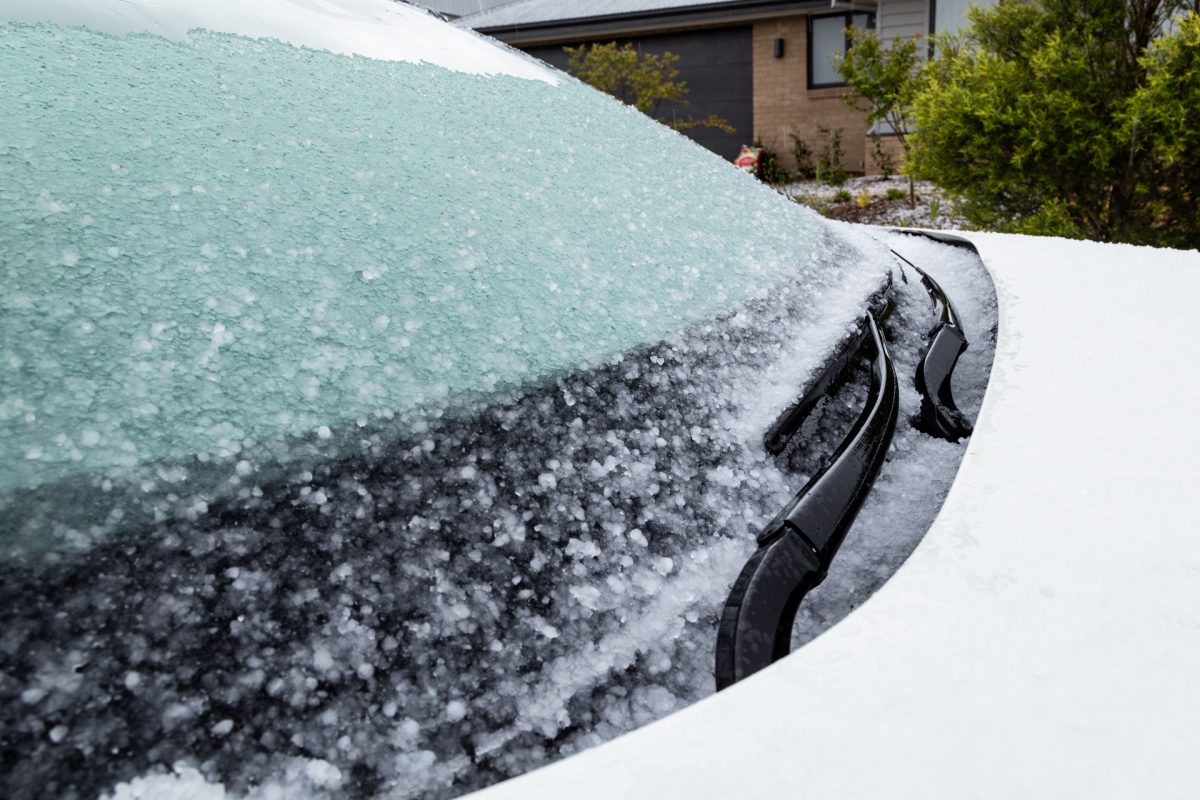
The BoM says don’t put away your puffer jacket just yet. Photo: Michelle Kroll.
You weren’t imagining it, Canberra – June was colder than normal.
According to the Bureau of Meteorology (BoM), last month broke decades-old temperature records.
The BoM’s weather station at Canberra Airport recorded an average daily minimum temperature of -2.7 degrees Celsius, which comes in as 3.8 degrees below the long-term average (since 2009) of 1.1 degrees.
But the standout was 21 June, which dawned as the month’s coldest morning with a bone-chilling -7.6 degrees, lower than the 21 June 2023 record of -7.2 degrees.
The weather warmed slightly to hit a minimum temperature of 4.5 degrees a few days later on 25 June.
BoM community engagement officer Morgan Pumpa said it was driven by a combination of factors.
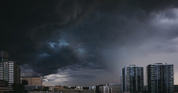
While cold fronts pulled in cold air from the south, high-pressure systems kept the frosty conditions in place.
“Following those cold fronts, we had quite large high-pressure systems … where that southerly and cold air could settle [alongside] clear skies and light winds,” she told Region.
“The high-pressure systems blocked some of the troughs from low-pressure systems located further south of the country from getting over the ACT and parts of NSW, Victoria and South Australia.
“[That led to] very cold mornings to start the day and many of our minimum temperatures in June.”
Six nights – 25 June to 30 June – recorded a minimum temperature of -5 degrees or colder. The last time this happened (in any month) was eight nights in July 1962.
The chilly conditions were felt across much of southern NSW, as the Canberra/Goulburn region and parts of the South West Slopes district recorded two to three degrees below the 1961-1990 average.
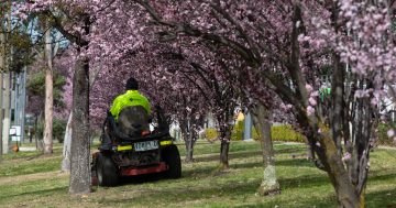
It’s all meant that Capital Country had a very cold start to winter – and it’s not warming up any time soon.
“The next seven days are looking like more of what we saw in June, which is a below-average minimum and then an above-average maximum,” Ms Pumpa said.
“We’re sitting on [a high of] 13 and 14 degrees for much of the week.”
While it’s too early to forecast what the month overall will look like, Canberra can expect a minimum of three degrees on Wednesday (2 July) and Thursday, before it drops to the negatives again from Friday.
Ms Pumpa said cloud and wind from a low-pressure system building off eastern NSW would make the Territory’s weather a tad nicer.
“That means our minimums aren’t as chilly … it does mean that we have a chance of some extra sunshine in the afternoon.”
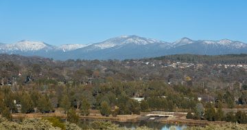
While most rugged up and turned on their heaters to stay warm, powderheads flocked to Snowy Mountains resorts to enjoy the white stuff after a slow start to this year’s snow season.
Over the King’s Birthday long weekend, the Snowies were blanketed with between 30 and 70 cm of snow, while the Territory received flurries of several centimetres.
Ms Pumpa said early July would see some fresh falls.
“We will have a little bit of snow, but it’s not a massive amount … it might just be a couple of centimetres, rather than [an amount in] double digits.”