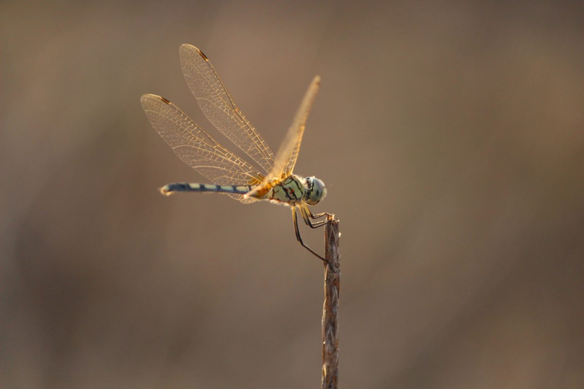
Have you noticed more dragonflies around this year? Photo: Mohith S R, Istock.
If you’ve seen a bunch of dragonflies around lately (one of those buzzy insects with the beautiful wings), you aren’t alone.
A recent post on Canberra’s subreddit from user AntpersonBadger brought more than a dozen comments from people reporting their presence.
“Has anyone else noticed that there are [dragonflies] everywhere at the moment?
“I wouldn’t say it is a plague, but I’m just glad they aren’t taking swooping lessons from the magpies.”
The question didn’t surprise Doctor Keith Bayless from the Australian National Insect Collection (ANIC), based at CSIRO.
He’s seen a definite increase in their numbers while studying insects in the field in central and southern NSW.
“We don’t have a program to specifically monitor their population levels, but anecdotally, I’d agree that I’ve noticed more dragonflies this time this year versus this time in previous years,” he said.
“We don’t have enough information to say whether it’s cyclical, but it seems unusual.”
Turns out, weather conditions have been favourable for dragonflies – in particular, it’s been wet.
He said this had likely made it easier for them to find somewhere to breed, with their larvae living underwater before emerging.
“For the last few years, the climate in eastern Australia has seen a lot more rain than usual, and also rain throughout different seasons,” he said.
“[From that, there was] an increase in water coverage or how much water sticks around during the season than the previous five or 10 years.”
As for the adult dragonflies, he theorised that they could be having to fly further afield than normal, trying to avoid competition while searching for additional larval habitats or food.
“It could be that the population is higher, or it could be just that we are encountering them more often because they’re being more active,” he said.
Dr Bayless predicted that future numbers of dragonflies would depend, in part, on what the weather does.
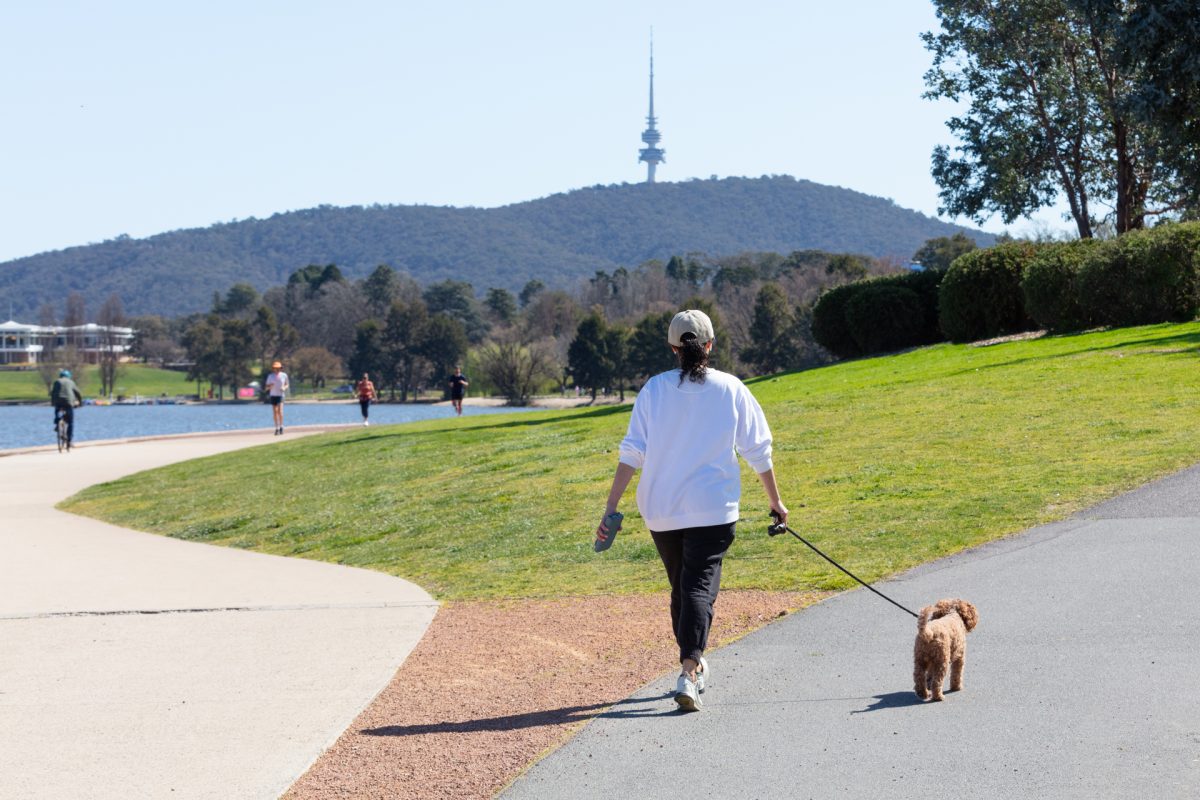
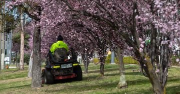
Early predictions suggest we’re in for an “increased chance” of a warmer than average summer. Photo: Michelle Kroll.
While it’s far too early to say what next year’s spring weather may be, early modelling suggests the country is in for a hot and wet end to 2025.
That’s according to the Bureau of Meteorology’s long-range forecast, which predicts an increased chance of higher minimums and warmer sea surface temperatures for southeast Australia.
Nights are also expected to come in above average for most of the country.
BoM senior climatologist Zhi-Weng Chua said time would tell how much rain ACT and south-east NSW residents received in their gauges.
“It’s not clear what rainfall over summer would be like for that region … there’s a fair bit of uncertainty in how rainfall will play out,” he said.
“That uncertainty could resolve as we get closer to the summer, but it also might not.”
He warned the forecast could change slightly as modelling was refined closer to summer, with a summer-specific forecast set to be released in late November.
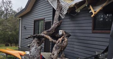
ACT Rural Fire Service operations manager Ken Hall and the Territory’s firies are preparing for the bush capital to dry out as the weather warms.
He pointed to southern parts of the ACT as having already started that process, with a recent ‘Moderate’ fire rating an example of ongoing risk.
“What we’re seeing this year is that the drying pattern that started to come in last year is continuing this year,” he said.
“The reality of climate influences … [has also meant] we didn’t have the extra rain we were looking for in October.”
Mr Hall called on Canberrans to clear leaf litter from around their properties (including their gutters), prepare a bushfire plan and follow any warnings from emergency services.