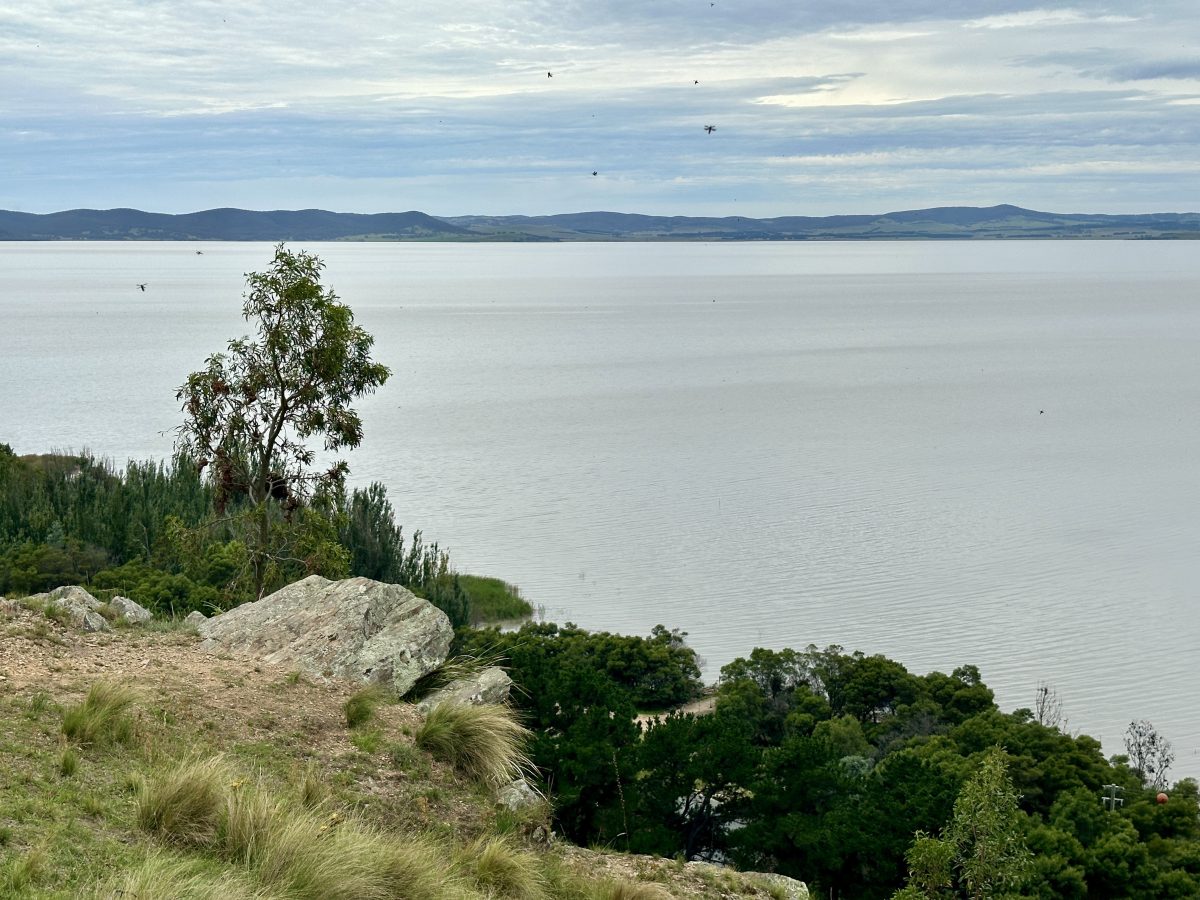
This is Lake George, but researchers were more interested in what’s underneath the ground. Photo: James Coleman.
Canberra researchers have taken a peek underground to see what lies under the water at Lake George – all without digging a hole.
The Lake George fault is located east of Canberra, stretching from near Goulburn to south of Queanbeyan.
Hidden underground, it runs along the western boundary of the lake.
Lead author and Australian National University academic Dr Chengxin Jiang said the team used traffic to put together a detailed 3D image of the fault.
(It’s similar to a CT scan, where X-rays are used to create a detailed cross-sectional look of your insides.)
The image revealed that it has seismic characteristics similar to several major active fault systems worldwide, including the San Andreas Fault in the United States and parts of western China along the Tibetan Plateau, providing hints about how it formed.
“They have, obviously, hosted seven-plus [magnitude] earthquakes before,” he said.
He and co-author Professor Meghan Miller decided to focus on the fault when they realised nearby traffic could be used in their modelling.
“Usually, in order to study the fault zone’s structure in the near surface [area] … you need an explosion – which is environmentally unfriendly and invasive,” he said.
“In this case, the sensors were just sitting there, passively recording the traffic noise.”
They installed more than 100 recording stations near the Lake George Fault to record the seismic signals generated by vehicles travelling along the Federal Highway.
“This was the time after the lockdown, when we’ve been working at home for a long time,” Dr Jiang said.
“We were so eager [to get out] and collect some new data.”
Past studies have found that the fault is one of the most active in southeast Australia when evaluated over the very long-term (we’re talking the past four to five million years).
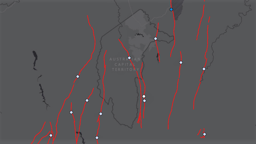
Several fault lines run under the ACT and the surrounding region. Image: Geoscience Australia.
The two researchers placed the sensors – each about the size of a beer can – near the road and in the then-dry Lake George.
They continually recorded traffic between December 2020 and January 2021. The recordings were cut into eight-hour-long sections before being further divided into shorter segments for analysis.
Dr Jiang describes the traffic noise as “pretty strong and actually higher” than the noise generated by other sources, indicating that they could identify it on their recordings.
This meant they could track how it travelled through the land, to create the first detailed picture of the lake’s fault zone.
Dr Jiang said their methodology, with the small sensors, could be installed around the world to study fault zones and other underground features – including within cities.
“We can better understand the potential [of an area] in terms of its seismic habits, particularly for the future,” he said of the method.
“You’re surrounded by traffic in the city. It provides a wonderful way to take advantage of those signals to image near-surface structures with a huge potential for engineering applications.”
The research has been published in the journal Seismological Research Letters.