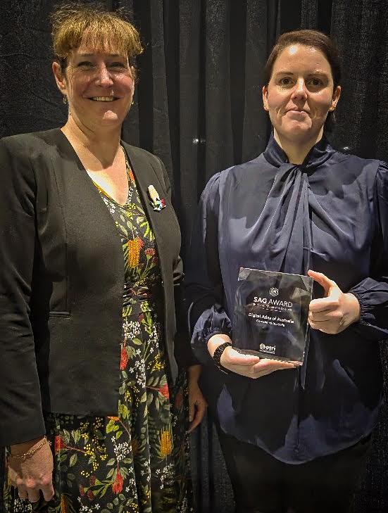
Geoscience Australia’s Maree Wilson and Megan McCabe with the Esri award. Photo: Supplied, Geoscience Australia.
A digital atlas designed by the Federal Government’s geoscientific research agency has been hailed on the world stage for its groundbreaking excellence in the delivery of trusted national data.
Geoscience Australia received international recognition for its Digital Atlas of Australia on 16 July when it was awarded the prestigious Special Achievement in GIS Award at the Esri User Conference in San Diego, USA.
The annual Environmental Systems Research Institute (Esri) event is dedicated to celebrating geographic information system (GIS) technology.
The development and delivery of Geoscience Australia’s digital map was recognised for geospatial excellence.
GA’s chief of place and communities division, Maree Wilson, and Digital Atlas Australia delivery lead, Megan McCabe, were on hand to pick up the award.
Ms Wilson said the accolade highlighted Geoscience Australia’s commitment to innovation.
“It recognises our achievement in delivering a modern, national geospatial capability that is transforming how trusted national data is accessed and used, supporting better place-based decisions,” she said.
“We’re proud to see our work delivering real-world outcomes across Australia and demonstrating to the world what’s possible at scale, even in a country as large and diverse as ours.”
The digital atlas provides an online platform where users can explore and visualise data by location.
It brings together, curates and connects trusted national datasets on Australia’s geography, people, economy, and the environment.
The atlas, powered by a digital ecosystem, provides the national infrastructure to enable trusted data suppliers to connect and share their information across borders, systems, portals and technologies.
Australia’s first national integrated geospatial infrastructure tackles the challenge of vast amounts of data scattered across disconnected silos and helps governments, businesses and communities gain seamless access to trusted national data and inform their decisions.
It achieves this by unifying diverse datasets, enabling interoperability across systems, and delivering a robust geospatial capability that supports meaningful place-based insights.
The digital atlas uses Esri technology through a cloud-based architecture with ArcGIS Online and ArcGIS Enterprise at its core. It also uses several other Esri tools and services to enhance user experience and ensure accessibility for all users.
Using an intuitive out-of-the-box setup, combined with apps and a user centric design, the digital atlas allows users – no matter their experience – to access, use and understand geospatial information easily.
Geoscience Australia, a statutory agency carrying out geoscientific research, advises the Federal Government on technical aspects and serves as the repository of geographic and geological data collated by the Commonwealth.
The agency is a major contributor to the government’s free open data collections, such as data.gov.au and portal.ga.gov.au.
On a user pays basis, Geoscience Australia also offers geospatial services, including topographic maps and satellite imagery.
The Digital Atlas of Australia is a key initiative highlighted in the government’s Data and Digital Government Strategy.
The strategy aims to deliver simple, secure and connected public services for all people and business.
By enabling its data to be managed and shared as a valuable national asset, the digital atlas helps to enhance the Australian Public Service’s ability to deliver better informed place-based policies, programs and services.
Ms Wilson said Geoscience Australia worked together with government partners to continually increase the capacity and impact of the atlas.
“We have built the digital atlas through collaboration, co-design, and data contributions from our partners across government,” she said.
“Beyond the public-facing platform, the digital atlas is changing how governments work together. It is also providing a secure environment for users across all levels of government to share information and collaborate in real-time.
“The digital atlas is unlocking a whole new level of place-based decisions across government. The Department of Social Services, for example, has shifted from static spreadsheets to geospatial tools.
“By combining their program data with socio-economic data from the Australian Bureau of Statistics, they’re now using maps, dashboards and location insights to inform targeted support where it’s needed most.”