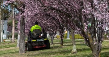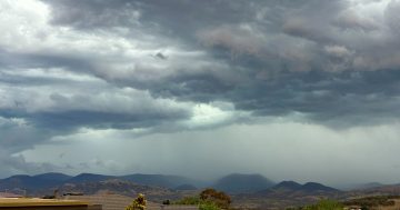
Don’t put your fans away just yet — more heat is on the way for southern Australia. Photos: Michelle Kroll.
A new forecast has given us a peek into the weather autumn has in store.
The Bureau of Meteorology’s long-range predictions indicate that much of southern Australia can expect below-average rainfall, while daytime temperatures are “very likely” to be above average.
There might not be relief after dark, with the BoM also forecasting above-average night-time temperatures.
Senior climatologist Hugh McDowell said the forecast was the latest example of the country’s “variable” climate.
“It’s likely to very likely to be drier than average across southern Australia,” he told Region.
“We’re talking about 60 to 80 per cent chance of drier-than-average conditions … and for NSW in particular.”
He said the overall conditions were being affected by an expected shift of La Niña into a neutral phase in early autumn.
“All the forecasts are consistent on that, and that’s [seen as] very likely,” Mr McDowell said.
“We’re pretty much at the end of La Niña now — all the indicators are easing and falling away, back to neutral.”
This means El Niño could ultimately arrive, but Mr McDowell isn’t ruling out an extended neutral phase.
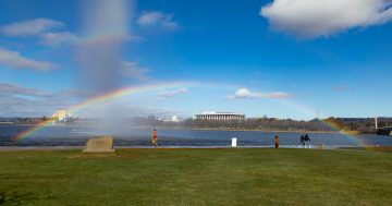
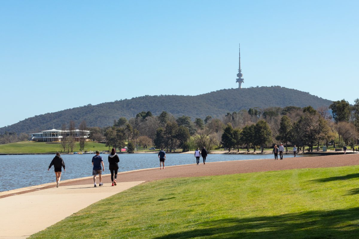
If you’re sick of the heat, Canberra and “higher parts” of Capital Country are expected to still see their normal chilly autumn, with overnight clear skies and frosts on the cards.
“There’s still going to be hot weather at the end of summer … But things will ease off, and they will start to cool off,” Mr McDowell said.
“Things will get cooler and start to settle down as we go into the later autumn and winter months.”
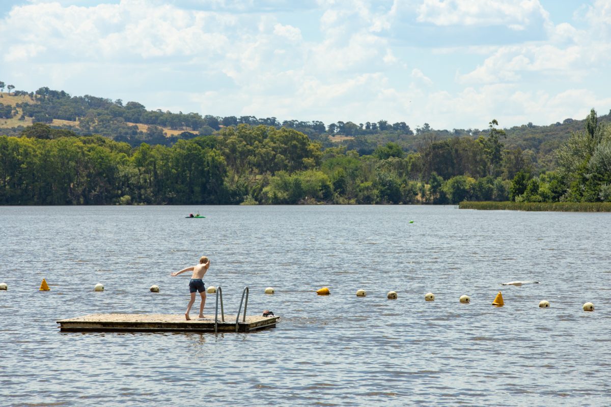
Mr McDowell said it would be off the back of a hot summer, pointing to the “quite extreme” fire weather faced by the Capital country and the Riverina in recent weeks.
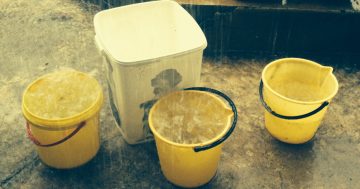
Drier-than-average conditions are tipped for the next few months.
He said modelling was showing tension in how much rain gauges would receive over the next few months.
“There is some split, and there is some uncertainty there,” he said. ”It’s still more likely we’ll see drier conditions in the season, as a whole, but it might not be drier than average the whole time.
“There’s probably still going to be some wet spells at times as well.”
Mr McDowell said the Illawarra and South Coast regions were in a slightly better position when it came to their stored water.
“There’s a bit more water in storage, and there’s a bit more water in the stream flows … [and] in the soils as well,” he said.
“But the forecast going forward is similar for those regions.”
He said that while coastal areas were “generally” wetter than their inland counterparts, it was difficult to predict exactly how much rain would fall.
“We’re likely to see more rainfall on the coast than we are for inland areas … How that compares to what they normally see [is unclear] — the forecast is still the same.
“Their median is wetter than Canberra’s and wetter than the Riverina’s median, for example.”
While the BoM cannot declare a drought, Mr McDowell said it was closely monitoring changing conditions as the country entered an expected dry period.
“They could end up as drought-like conditions in the longer term,” he said.
“If we have a dry autumn and dry winter, and then we go into next spring [and it gets hot and dry again], then that’s going to affect the upcoming fire season.
“But that’s a longer look [towards] the horizon.”
Mr McDowell encouraged people to monitor forecasts and warnings from the bureau, especially for severe weather events such as storms or fires.
“It’s just a drier period,” he said. ”That comes with its own consequences, and it comes with its own hazards.
“Australia sees hazardous weather every year.”