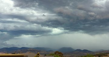
Up to 20 mm of rain is expected today in Canberra. Photo: Michelle Kroll.
Damaging winds and heavy showers are set to lash Canberra and parts of southeast NSW today as a cold front moves through the region.
The Bureau of Meteorology (BOM) has issued a severe weather warning, with strong northwesterly winds expected to build this morning before easing from the west later in the day.
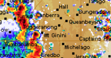
The change will also bring rain, with showers likely in the ACT from late morning and into the evening.
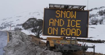
In alpine areas above 1900 metres, winds could average 80 to 90 km/h, with peak gusts up to 125 km/h. Across the Snowy Mountains and nearby districts, damaging winds averaging 60 to 70 km/h are possible, with gusts reaching around 100 km/h.
The ACT and surrounding areas can also expect gusty winds, showers and cooler conditions as the front passes.
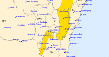
Locations that may be affected include Braidwood, Bombala, Thredbo, Selwyn, Adaminaby, Mount Ginini and Nimmitabel. At Perisher Valley, a gust of 95 km/h was recorded early this morning.
BOM senior meteorologist Angus Hines said while most of NSW would enjoy warm and sunny conditions, the south of the state – including Canberra – will turn wet and windy.
“There will be some rain moving into the south of NSW, particularly after lunch,” he said
“That’s going to affect areas up in the mountains, including Canberra. It’ll get wet there as the day progresses through the afternoon and evening, and also quite blustery up in the hills.”
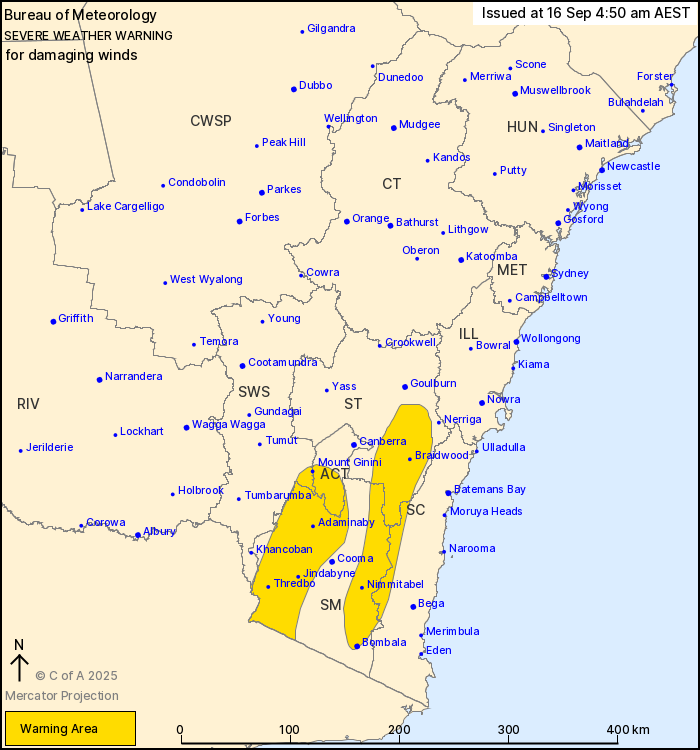
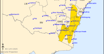
The severe weather warning was issued at 4:50 am, 16 September 2025. Photo: BOM.
For Canberra, the forecast today is for a top of 21 degrees with showers developing late in the morning and a very high chance of rain, up to 20 millimetres.
Tomorrow will be mostly sunny after a cool start, with a top of 17 degrees.
Thursday will bring morning frost and sunshine with a maximum of 18, before showers increase on Friday, especially in the afternoon and evening, with a top of 20.
Temperatures will drop again on Saturday and Sunday to 15 and 16 degrees respectively, with a chance of showers.
Residents are advised to secure loose items, take care when driving in windy conditions, and keep up to date with the latest warnings on the BOM website.