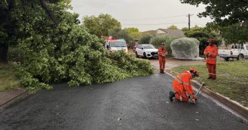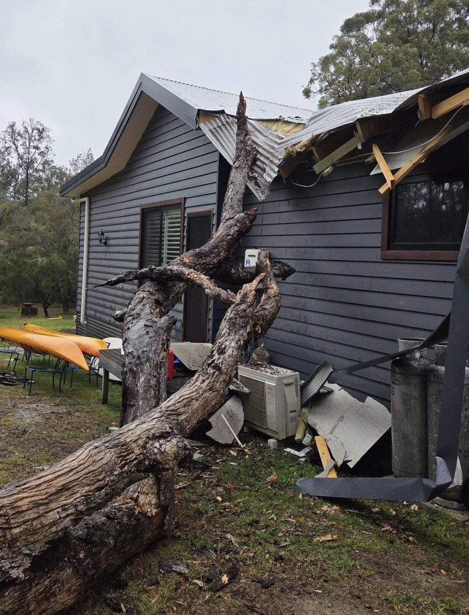
There have been dozens of calls for help since the wet weather arrived, and more is still to come. Photo: NSW SES Bega Unit.
Campers and caravanners in the Illawarra and South Coast have been encouraged to move their structures away from trees and to higher ground, with more storms predicted this afternoon (Friday, 16 January).
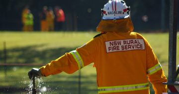
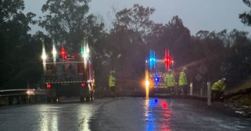
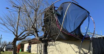
In the past 24 hours (to 3 pm) there have been 123 calls to NSW State Emergency Service crews for help with leaking rooves, trees down and sandbagging.
“Recent rainfall has highlighted how quickly local conditions can shift,” a statement from the volunteer service outlined.
“In Eden, around 40 vehicles were trapped on the Princes Highway for three hours due to water over the road and a fallen tree, and more than 100 people were temporarily stranded at a golf club when surrounding areas became inundated.”
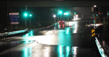
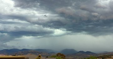
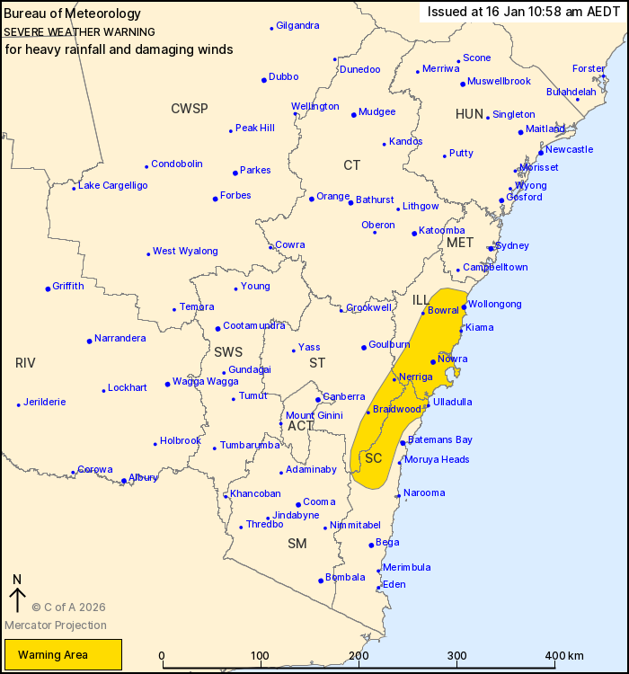
More heavy rainfall and damaging winds are forecast across the South Coast, Shoalhaven and Illawarra regions from tonight and across the weekend, with upwards of 120 mm of rain forecast over the next three days.
Isolated falls of up to 200 mm in three days is also possible once storms are factored in.
The severe weather is being driven by a low pressure trough sitting off the east coast, which has a low pressure system developing alongside it.
Bureau of Meteorology meteorologist Miriam Bradbury said the trough was directing moisture and winds against the southern and central coasts of NSW.
“[Our severe weather warning] flags six-hourly rain rates of 50 mm to 80 mm, and isolated six-hourly rain rates above 100 mm, as well as damaging wind gusts in excess of 100 km/h,” she said.
“Now this is wet and windy weather, not necessarily tied to thunderstorms, but it still could bring us flash flooding, bring down trees or tree branches, or lead to dangerous driving conditions.”
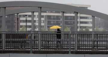
Heavy rainfall and damaging winds are expected to intensify into Friday night. Photo: BoM.
Storms are developing across the afternoon with severe thunderstorms possible for the South Coast and Illawarra areas, along with dangerous conditions along the coastlines.
Conditions are expected to ease below severe thresholds by Saturday morning but the rain is expected to linger until the low pressure trough and system weaken into Sunday.
“Those severe thunderstorm areas are likely to become less widespread as we go into early next week,” Ms Bradbury said.
Coastal residents and visitors have been advised to remain cautious, particularly if they are in low-lying coastal areas near river mouths, estuaries and foreshores, as minor flooding is possible.
NSW SES Chief Superintendent Dallas Burnes reminded people that conditions could change quickly during thunderstorms, and flash flooding may occur without warning.
“People staying near rivers, lakes and coastal areas should be prepared to move to higher ground and avoid driving or walking through floodwater if conditions deteriorate. We also advise campers to avoid setting up under trees and to relocate early if their location becomes unsafe,” he said.
“With increased visitor numbers during the school holiday period, travellers unfamiliar with the region are urged to take extra care and check local conditions regularly.
“We encourage people to stay alert, understand their surroundings and keep up to date with official warnings by setting up a ‘Watch Zone’ on the Hazards Near Me app.”
Flood rescue crews and assets have been positioned across the coast to respond if needed.
If you need assistance from the NSW SES, call 132 500. In life-threatening emergencies, call triple zero (000).
Original Article published by Claire Fenwicke on About Regional.