The Australia Day long weekend is going to be a hot one. Photo: Michelle Kroll.
The “heat engine” is being turned on – and it’s set to make Australia Day a scorcher for much of inland NSW and the ACT.
Over the coming days, the mercury will soar as part of what Bureau of Meteorology senior meteorologist Angus Hines calls “prolonged and intense” heat.
It’s all down to the “heat engine” in the country’s west and north-west, the name for a weather phenomenon where hot air is pulled across to the eastern states.
“We often see the heat building in that part of the country, then a weather pattern will bring a shift in the wind,” he explained.
“A wind flow will drag some of the hot air through central Australia and into the eastern parts.”
Residents of the ACT, as well as the Southern Tablelands and Snowy Mountains regions, can expect temperatures reaching the high 30s with minimal cloud cover over the coming days.
Canberra will hit the mid-30s by the weekend, before peaking at 39 degrees on Sunday (25 January). Monday (26 January) will be slightly cooler, at 37 degrees.
Jindabyne is expected to spend the long weekend hovering in the low to mid-30s, while Goulburn and Yass will reach 38 degrees on Monday.
The Riverina will swelter through temperatures up to 40 degrees. Wagga Wagga and Deniliquin will hit 44, and Griffith will reach 45 degrees by Monday.
If you’re tempted to flee to the beach for some relief, you might find some luck.
Mr Hines said coastal winds are expected to be the “dominant feature” in areas such as the Illawarra and Far South Coast regions, helping keep it cooler there.
“If there is an easterly wind coming in off the sea, that will keep that South Coast area much, much cooler,” he said.
Both Bega and Wollongong are set to peak at 35 degrees on Sunday (but spend most of the long weekend in the high 20s), while Batemans Bay is expected to reach 37 degrees.
Cooler Kiama will see 31 degrees on Sunday, with Moruya to reach 33 degrees.
Mr Hines warns that the mercury could still spike in coastal parts of NSW if the wind turns out to be weaker than expected.
That would mean temperatures coming in at “easily be six or eight degrees higher” than currently forecast, bringing them more in line with inland areas.
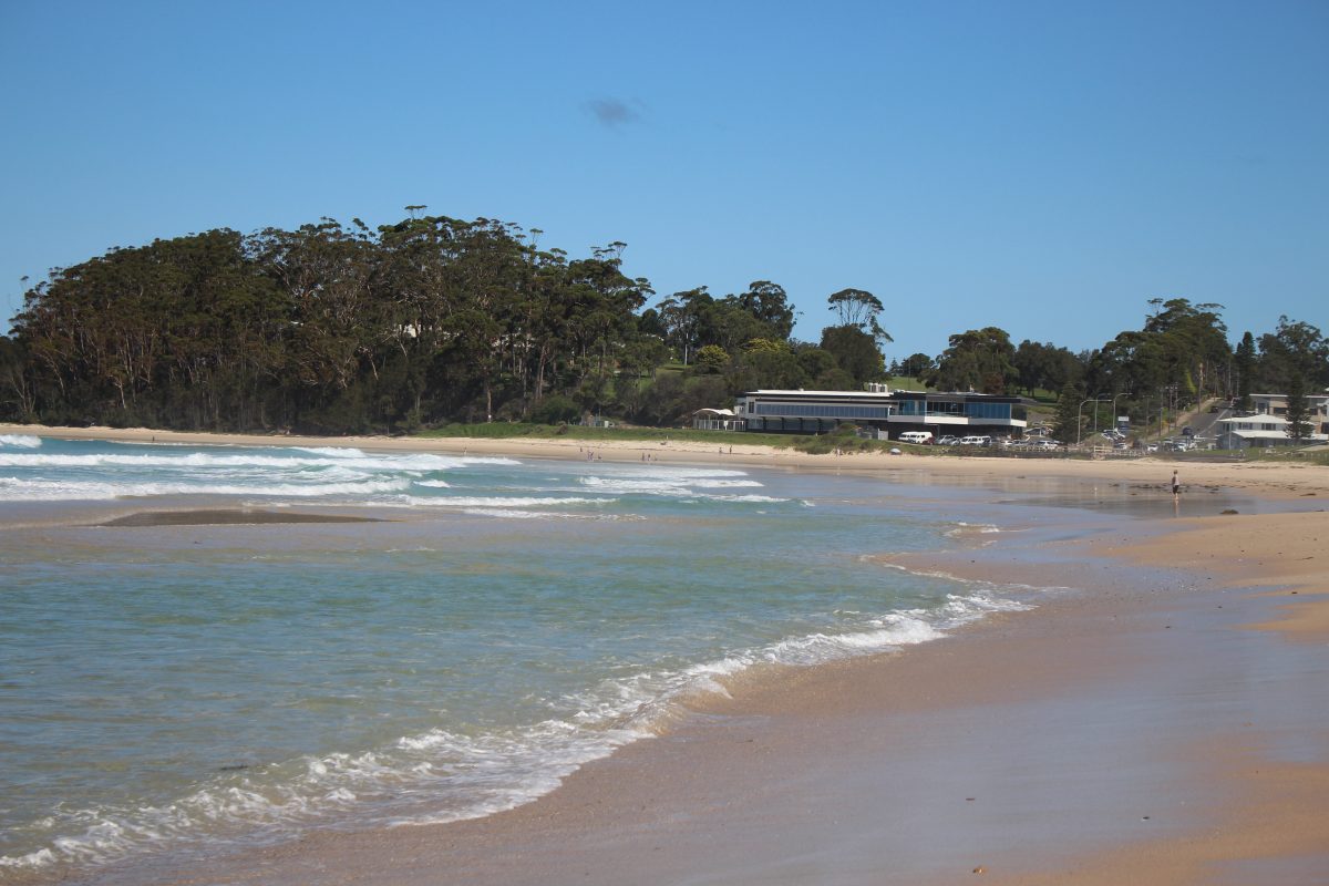
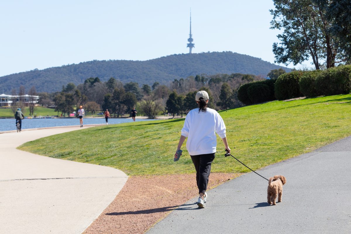
Coastal parts of southern NSW can expect a “dry and pleasant day” on Monday (26 January). Photo: Katrina Condie.
On Wednesday afternoon (21 January), the NSW RFS Far South Coast Team said an infrared camera attached to a helicopter had identified several hotspots in the Brassknocker Firetrail blaze in the Wadbilliga National Park.
Firefighters are currently working to extinguish them, but have warned that smoke and aircraft may be seen in the area over the coming days.
“As conditions warm and fuels continue to dry, it is expected that additional hotspots may appear,” a spokesperson outlined.
“This may include unburnt fuels igniting and burning, and smoke may be visible at times. … There is no concern at this stage of fire activity outside the containment lines.”
Mr Hines said that while the return of high temperatures isn’t “unexpected” after the heatwave earlier this month, people should still be careful, make sure they’re drinking water and check on each other.
“You don’t get through summer without a few heat spells, but this could be quite a pronounced one, with high temperatures and over three or five days in some areas.”
In good news, the heat is expected to break next Wednesday (28 January), potentially by the afternoon and evening.
“That’s about the time when it’s looking like those conditions will change, bringing much cooler conditions back to those southern areas of NSW …. Potentially moving into the second half of the week with cooler weather.
“Inland spots would probably not get much rain as the temperature drops, but coastal areas could be in line for some rainfall as the change moves through.”